The Maps of Lemsford Village

Enjoy Lemsford Local History Groups selection of Historic Maps
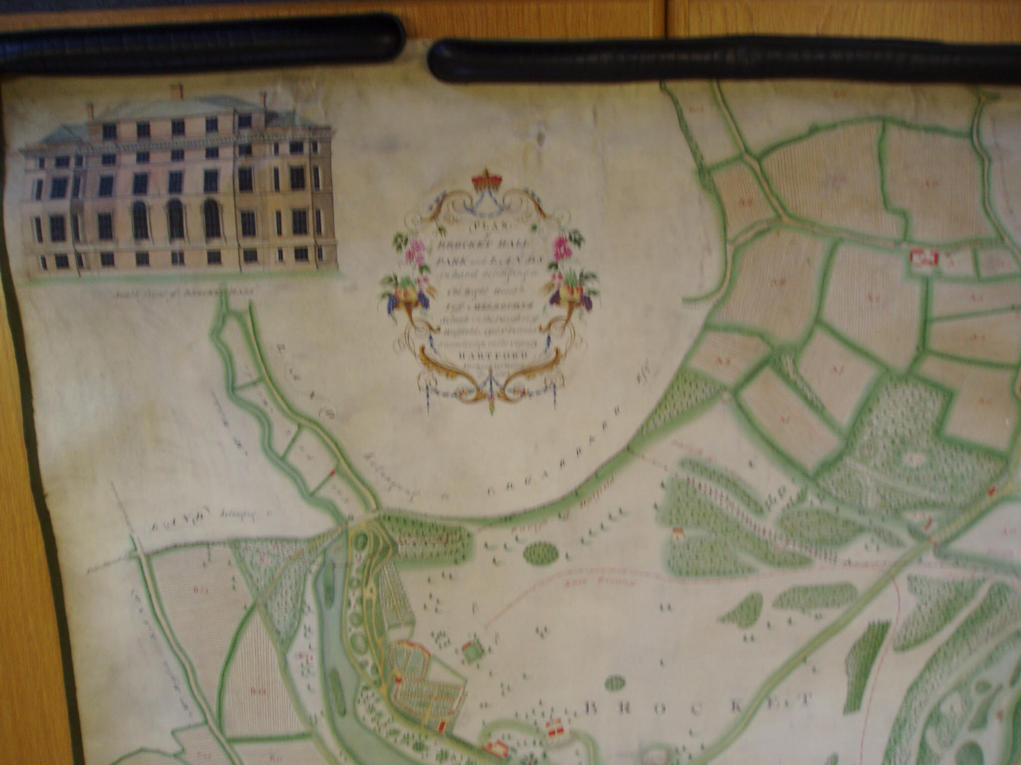
 Lemsford Local History group has in its archive many maps of the area that helps us understand how the area developed and who lived where in the village. This page is dedicated to the Maps of Brocket Hall.The image on the left is 1752 Map of Brocket Hall – Donated by HALS
CLICK ON IMAGES TO ENLARGE
Lemsford Local History group has in its archive many maps of the area that helps us understand how the area developed and who lived where in the village. This page is dedicated to the Maps of Brocket Hall.The image on the left is 1752 Map of Brocket Hall – Donated by HALS
CLICK ON IMAGES TO ENLARGE
1798 Map of Brocket Hall
1798 Map of Brocket Hall NW View – Donated by HALS

1798 Map of Brocket Hall
1798 Map of Brocket Hall NE View – Donated by HALS

1798 Map of Brocket Hall
1798 Map of Brocket Hall S View – Donated by HALS
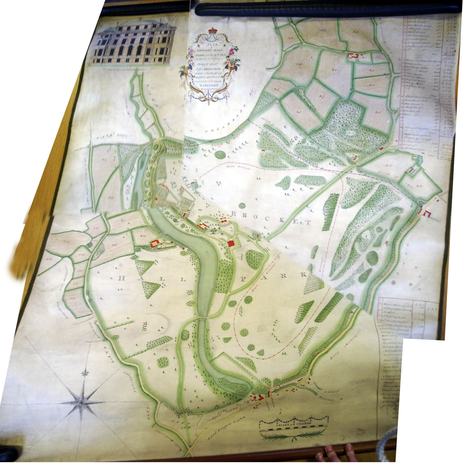
1798 Map of Brocket Hall
1798 Map of Brocket Hall N View – Donated by HALS
The Lemsford Local History Group, Has a large selection of historic maps to see full range Click Here
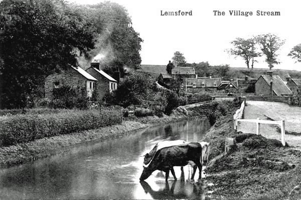
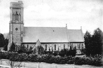
The Lemsford Local History Group, formed in 2001, is interested in all aspects of the history and the people of this area - both ancient and modern. We welcome correspondence from anyone who shares this interest.The group archives now include a significant number of photographs and documents, as well as records of baptisms (to 1985), marriages (to 1970), burials (to 2003) and memorial inscriptions (to 2003) from the St John's parish church registers. Records of births, marriages and deaths before the consecration of the church in 1859 will be found in the registers of Bishop's Hatfield parish. The archive also contains admission records for the village school - St. John's Church of England Junior Mixed Infants school - since it was first opened in 1872